
By Kaleb Comstock
One of the most important things that I have learned as a hunter is how to internet scout. What I mean by internet scouting is I have learned how to read maps, topography, and food sources. Being a teacher, I need to maximize the number of opportunities I get to hunt which is why I rely so heavily on OnX Maps and internet scouting. OnX Maps is a piece of technology I utilize religiously, all year long no matter what I am hunting.
I use OnX for multiple things when it comes to scouting. One of those things is securing permission on properties. OnX has a map layer that tells you who owns the property. This has served to be very useful for me. A prime example of how this has helped me as a hunter is just last season I was driving back roads scouting and I noticed a lot of deer in this field next to this chunk of timber. I pulled up OnX, used the landowner layer and realized the person that owns the timber is the same person that owns the field which I already had permission for waterfowl hunting on. We called the land owner asking for permission to deer hunt and permission was secured. This is a great way to constantly be looking for new land to hunt.

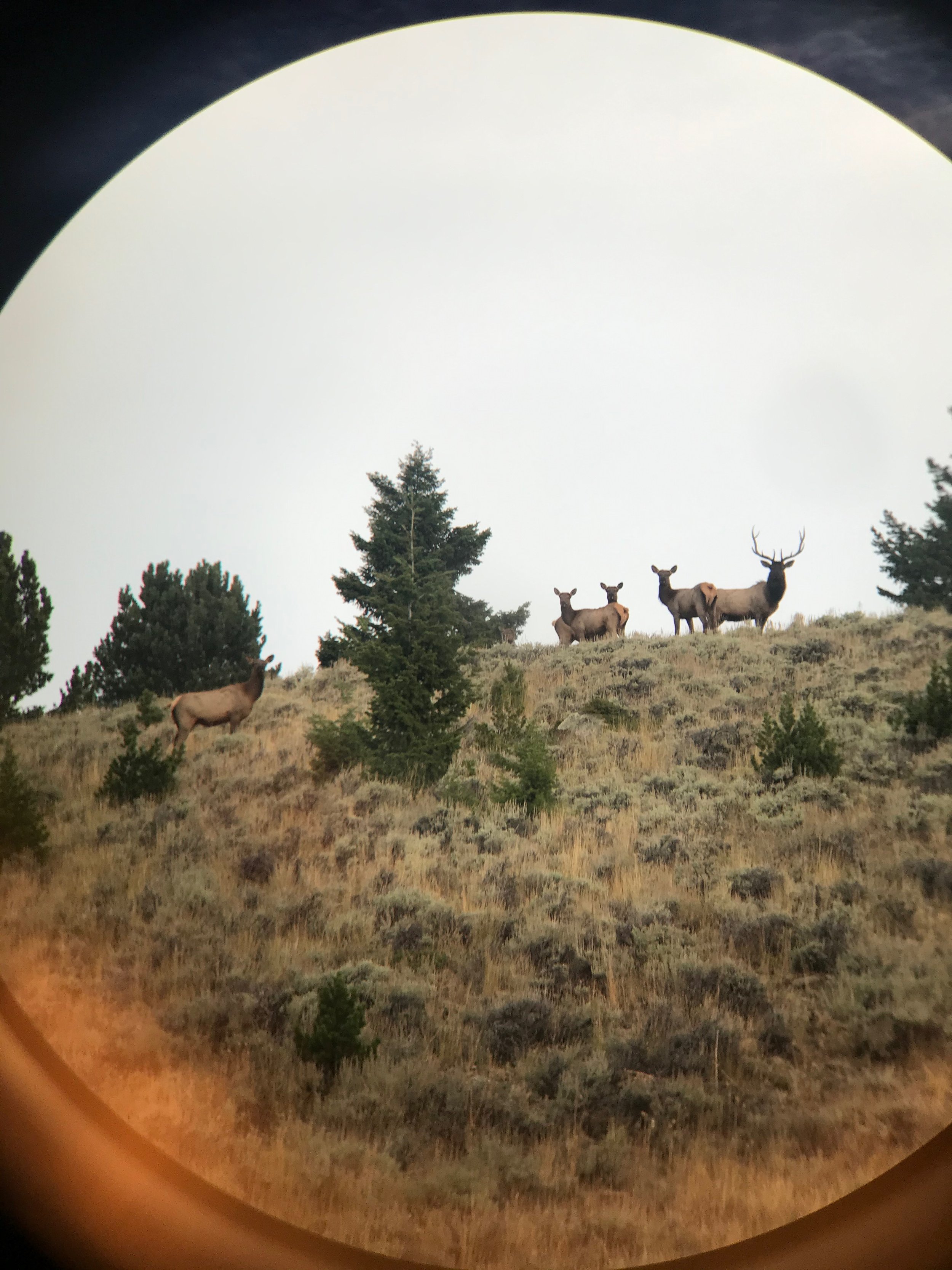
After glassing a field full of deer last year, Kaleb was able to see on OnX that he knew the landowner and was able to secure permission.
One of the most versatile tools of internet scouting is being able to read topographic maps. This was something that I have been working on learning for the last couple of years. What I really like about OnX is they provide different map layers for reading topography. This allows me to compare a satellite image to just a regular topography map. Learning how to read topographic maps has made it easier for me to identify main travel corridors for big bucks. For example, when it comes to topography, you can see how the land lays out and creates natural pinch points. These pinch points are where I like to place my cameras and stands because it funnels the deer into one certain area. The biggest take away I have learned from reading topographic maps is the line spacing. Where I hunt in Nebraska, I hunt a lot of ridges and rolling hills. On a regular map it is often hard to read how steep some of the ridges and hills are. When using topography, I know that the closer the lines are together, the steeper the hill or ridge is going to be. Not only does this help me eliminate places on my property, it also helps me pick the easiest way to access a particular stand.

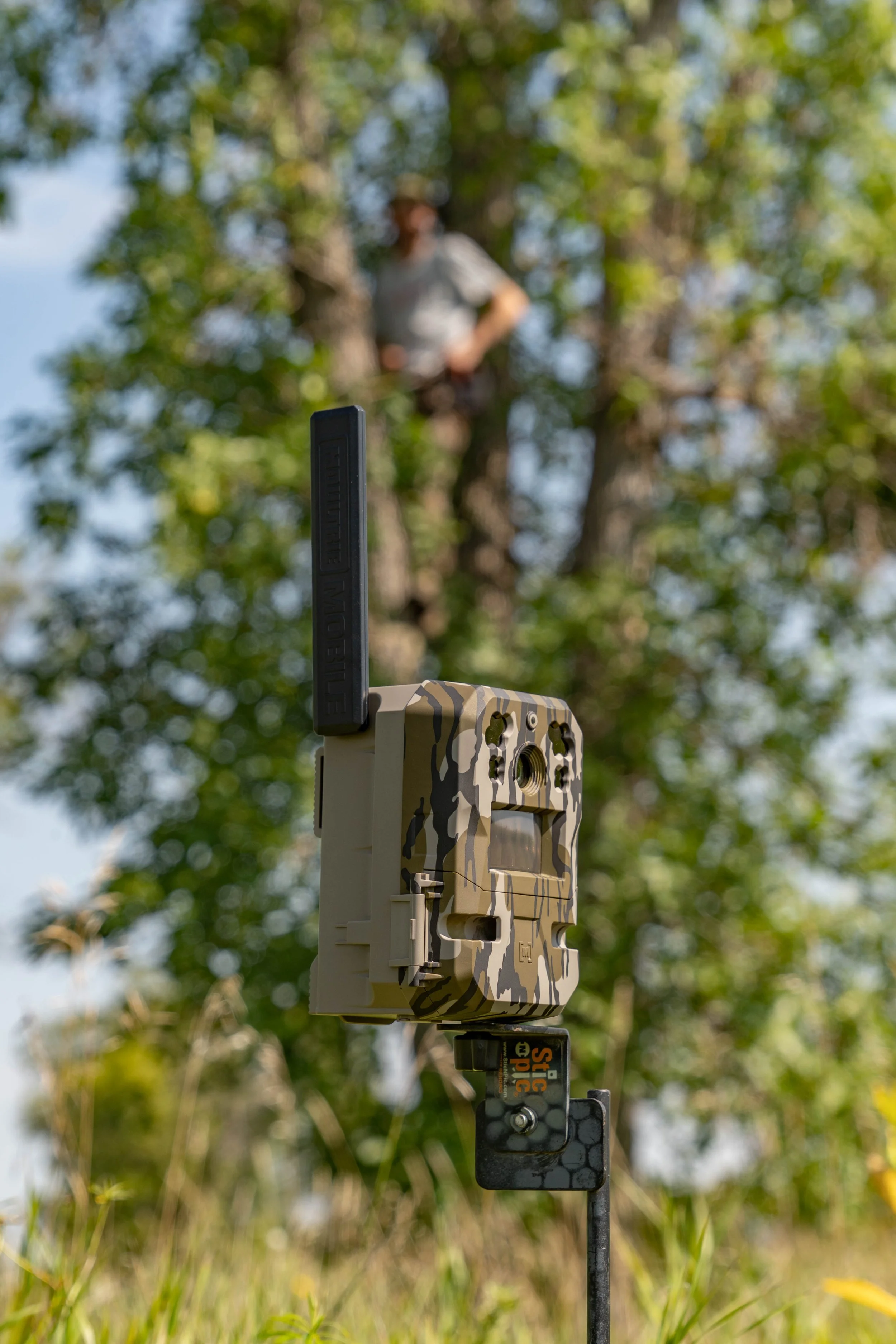
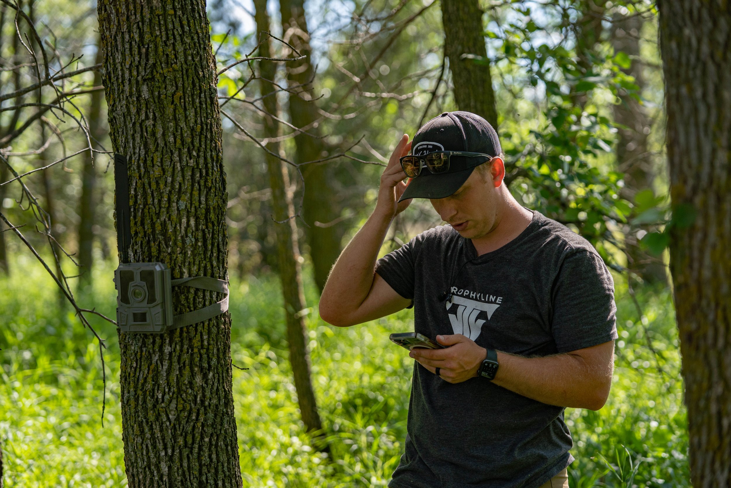
When doing things like hanging trail cameras, we’re constantly marking them on OnX.
In Nebraska we have a lot of agricultural fields and most of the time the farmers alternate their groups every year. For example, if last year the field was a corn field, this year the farmer most likely planted beans to continue the crop rotation. One feature that OnX offers is a crop layer. The crop layer will tell me what was planted in the field the year prior. This makes it really nice for scouting new properties and glassing bean fields in the summer. Being able to know the crops without having to actually drive there and see for myself is super efficient and saves me a lot of time when it comes to hunting and scouting.
Overall, internet scouting can be super useful if you know what you are looking for. This isn’t something I learned overnight. When I am in the woods, I am still looking at maps on my phone while my feet are on the ground. This allows me to fully understand what different things on the map means and how I can put that knowledge when it comes to learning a new property.